Cappadocia
- Volcano type: Ignimbrites
- Volcano number:-
- Latitude: 38°40°N
- Longitude: 34°51°E
- Elevation: ~1091 m
- Distance to Ankara: ~220 km
- Closest city: Nevşehir, <10 km
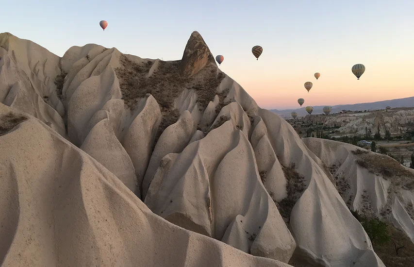
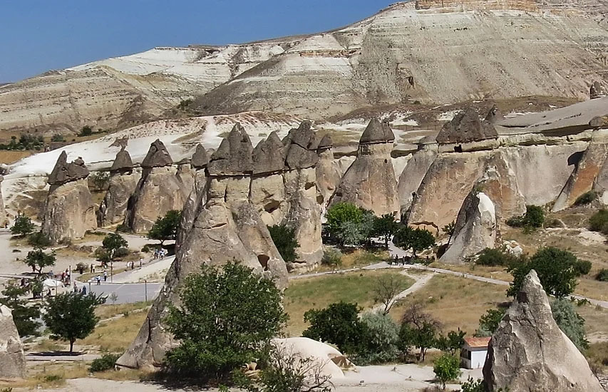
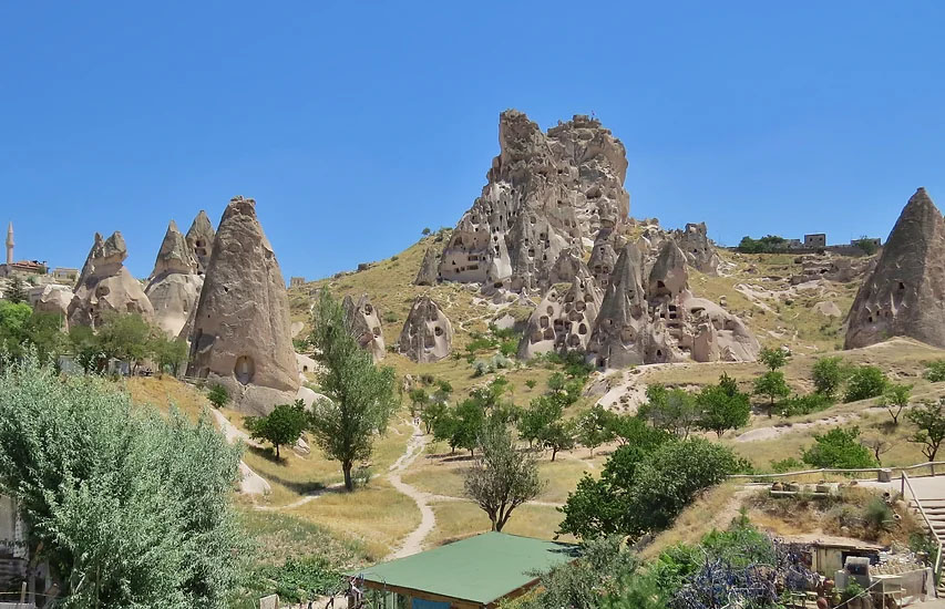
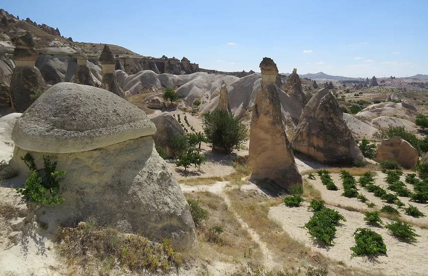
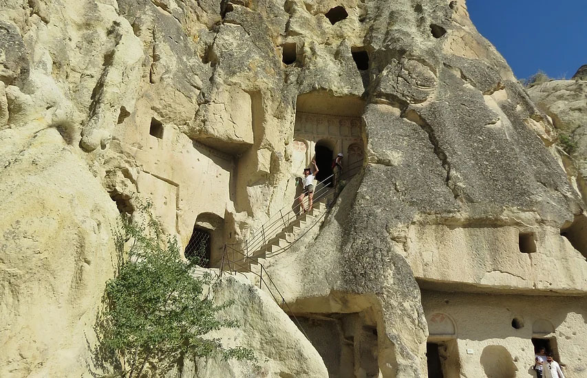
Cappadocia lies in Central Anatolia, with the cities of Kayseri, Nevsehir, Aksaray and Nigde. Cappadocia has become a very popular tourist destination, thanks to the amazing rock formations arising from the large-scale volcanic deposits and the historical settlements within these formations. Explosive volcanic activity, which started about 9 Ma from today, formed large pyroclastic flows and ignimbrites covering the region in geological time, and these rocks later took their present appearance with erosion processes. Erosion of these deposits resulted in amazing formations referred to as "Fairy chimneys". Over centuries, people have carved out the soft tuff to create tunnels, caves and homes.
References
Aydar, E., Schmitt, A.K., Çubukçu, E., Akin, L., Ersoy, A., Şen, E., Duncan, R.A., Atici, G. 2012. ‘’Correlation of ignimbrites in the central Anatolian volcanic province using zircon and plagioclase ages and zircon compositions’’, Journal of Volcanology and Geothermal Research, 213-214, 83–97.
Çiner, A., Aydar, E., 2019. A fascinating gift from volcanoes: the fairy chimneys and underground cities of Cappadocia. (Landscapes and Landforms of Turkey, Editörler: Kuzucuoğlu, C., Çiner, A., Kazancı, N.). World Geomorphological Landscapes Series, Springer Nature Switzerland AG, 535-547 s.