Erciyes Dağı
- Volcano type: Stratovolcano
- Volcano number: 213010
- Latitude: 38.531°N
- Longitude: 35.447°E
- Elevation: 3864 m
- Distance to Ankara: >270 km
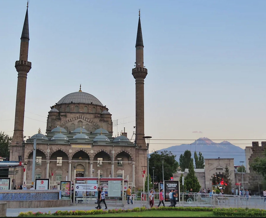
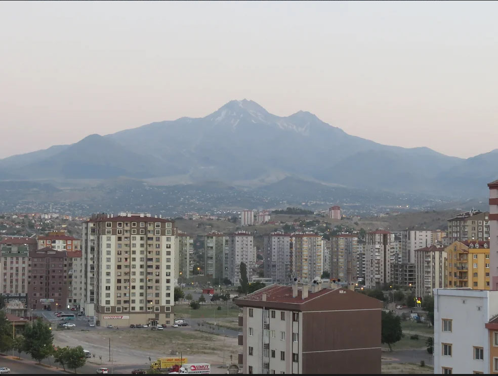
- Closest major city: Kayseri ~20 km
- Population within 5 km: 1,715
- Population within 10 km: 8,036
- Population within 30 km: 767,813
- Population within 100 km: 1,817,720
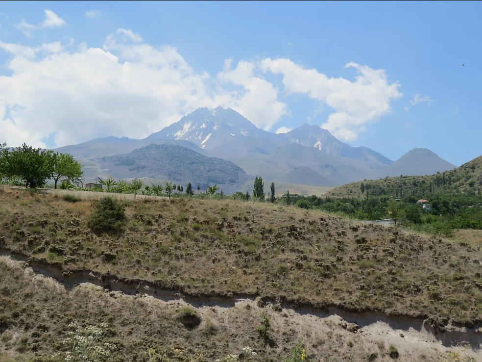
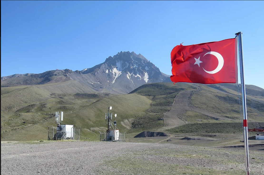
Erciyes Dağı is the highest peak in Central Anatolia, at 3,916 m, located on the east side of the Central Anatolian Volcanic Province (CAVP). The stratovolcano is heavily eroded, with a flank collapse scar to the east. Numerous cones and domes encircle the main stratovolcano, and extend away from the volcano low on the flanks and into what are now highly populated areas. The rapidly growing city of Kayseri lies about 20 km to the north of Erciyes.
The evolution of Erciyes Dağı began in the Neogene, with the effusive Koç Dağ stage, followed by explosive eruptions and the formation of a caldera. The current large stratovolcano, which largely comprises andesitic and dacitic lava flows, formed in the caldera during the Pleistocene. Several dacitic and rhyodacitic parasitic domes which developed in the Pleistocene and possibly early Holocene are associated with significant tephra falls and pyroclastic flows and surges.
The existence of a long eruption history at Erciyes Dağı including very large explosive eruptions occurring at least as recently as the early Holocene indicates that Erciyes Dağı should be recognised as a potentially active system. From a hazards perspective the most likely scenarios for future activity are similar to the young rhyodacitic explosive-extrusive eruptions associated with the Karagüllü, Perikartin and Dikkartin domes: that being short lava flows, widespread tephra fallout, and pyroclastic flows, with possible associated lahars.
References
Aydar, E., Şen, E., Sarıkaya, M.A., Kuzucuoğlu, C. 2019. “In the Footsteps of Strabon: Mount Erciyes Volcano—The Roof of Central Anatolia and Sultansazliği Basin’’. Landscapes and Landforms of Turkey. Editör: Kuzucuoğlu, C., Çiner, A., Kazancı, N. World Geomorphological Landscapes. Springer.
Global Volcanism Program, 2013. Erciyes Dagi (213010) in Volcanoes of the World, v. 4.8.1. Venzke, E (ed.). Smithsonian Institution. Downloaded 01 Aug 2019 (https://volcano.si.edu/volcano.cfm?vn=213010). https://doi.org/10.5479/si.GVP.VOTW4-2013.
Şen, E., Kurkcuoglu, B., Aydar, E., Gourgaud, A., Vincent, P.M. 2003. ‘’Volcanological evolution of Mount Erciyes stratovolcao and origin of the Valibaba Tepe ignimbrite (Central Anatolia, Turkey)’’, J. Volcanol. Geotherm. Res., 125, 225-246.